Projects

0. Urban Design & Large Architecture

The Public Hotel Project

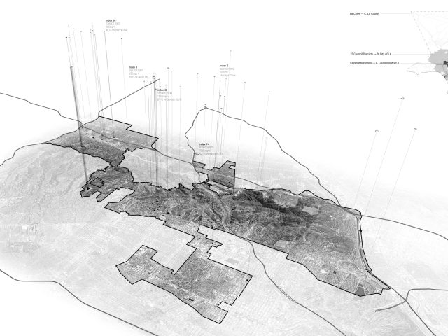
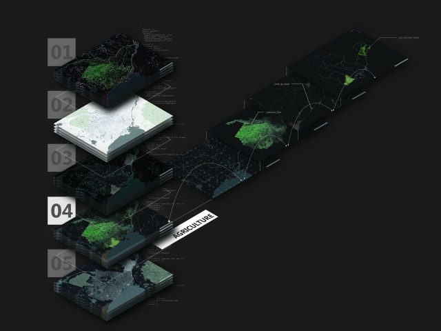
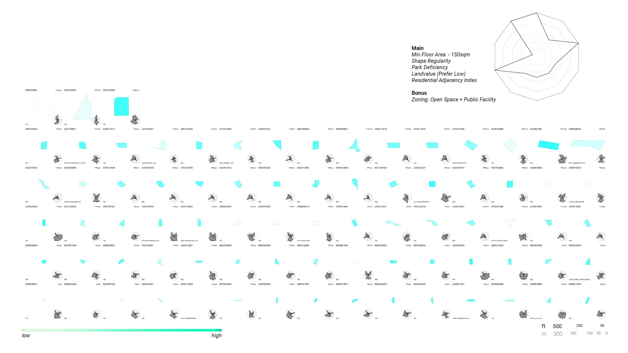
As our cities grow, many irregular and interstitial sites are left forgotten or underutilized. How can we tap into the possibilities for these public dormant sites? Can we envision a new kind of civic infrastructure distributed across the city?

Instructor: Eui-Sung Yi
SCI-Arc EDGE: Summer 2020
Design of Cities Studio III: Combinatory Urbanism, LA Studio
Project Team: Ian Dayagbil and Calvin Sin

Hammerhead Spa Grounds

Urban Design Proposal for Eugene, Oregon

Instructors: Thom Mayne, Eui-Sung Yi and Daniel Pruske
SCI-Arc: Spring 2020
Design of Cities Studio II: Combinatory Urbanism, Oregon Studio

Chamartin Expo Station

Combinatory Urbanism and Urban Strategy for Madrid, Spain

Instructors: Thom Mayne and Eui-Sung Yi
SCI-Arc: Spring 2019
Design of Cities: Studio I
Project Team: Ian Dayagbil, Larissa Eteson, Calvin Sin, and Ziao Zhou

Flats Housing

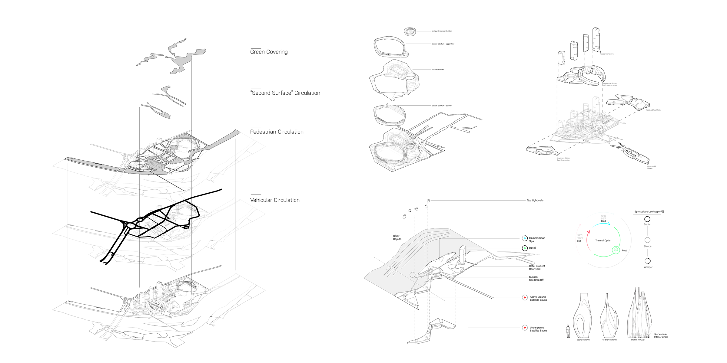
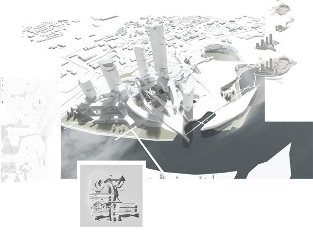
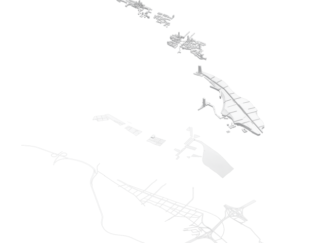
The East LeBreton Flats Masterplan reimagines LeBreton through exploring its place as both a destination and as a neighborhood. What typologies can be deployed to both distinguish and blur the public and the private? We answer this through three mechanisms for design: circulation, podium/plinths, and typology-mixing. Thereby resulting in three design moves: the lacing bridges, the linking logs, and the Asticou towns.

Term: Winter 2017
ARCU4303: Housing Studio
Professor: B. Gianni
Project Partner: Christophe Young
T: Prototypical Urban Communities

Feedmill Innovation District

Published in Building 22 (2017 Edition)
Recipient of an Award of Merit from the 2017 City of Ottawa Urban Design Awards

Term: Winter 2017
ARCU3304: Urbanism On The Periphery
Professor: C. Bonier
T: Urban Edge Studio // New Huntmar

1. Mapping and Geospatial Analysis

Bellhop

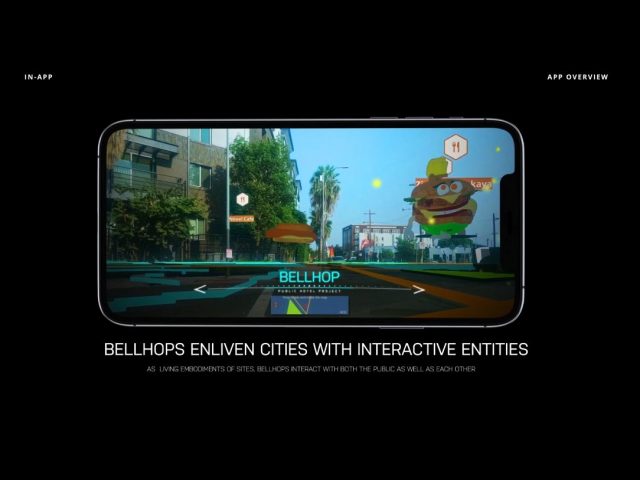
Creating a network of digital beings across our cities. These digital beings gather data through “normal” conversation and derive conclusions that can be used for refining generative design solutions.

Instructors: Soomeen Hahm
SCI-Arc: Spring 2020
Architectural Technologies: Seminar 3

OEED
Research Lab: Carleton Immersive Media Studio
Web Application: Summer 2018
Role: GIS, Cartographic Design, and Marketing Graphics

Salt and Gold
Professor: Ozayr Saloojee
Carleton University: Winter 2018
Urbanism in a Global Context: Public Polis / Liquid Cartographies

Artifact & Atlas

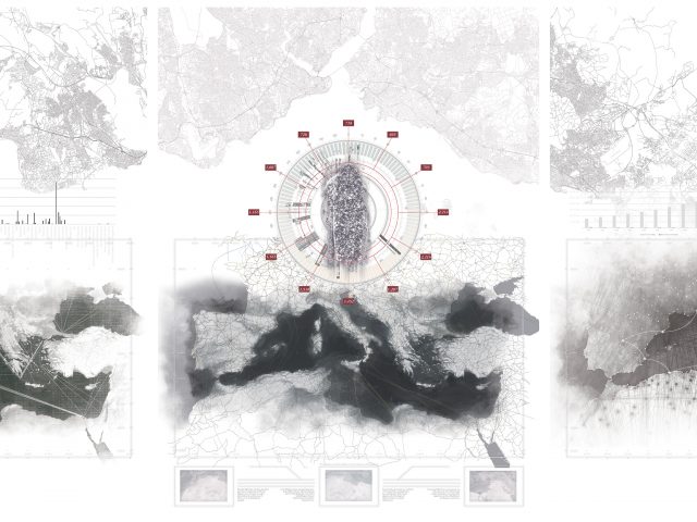
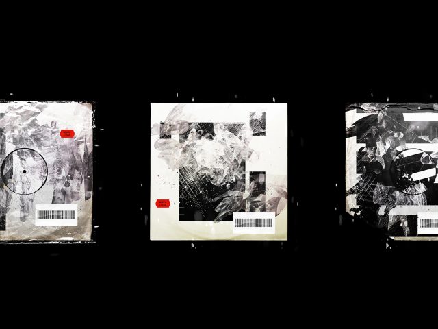
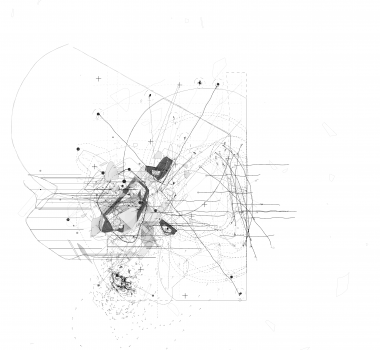
Mapping is a practice that catalogs the physical and the cultural. That which is built and imagined. It is a practice becomes vehicles for both how we see the past and how construe our futures. Artifact and Atlas is double-sided triptych that explores the ways in which opposing views and agendas might manifest themselves in the depiction of places and in the imaging of our cities.

Term: Winter 2018
ARCU4304: Urbanism in Practice 4: Global Context
Professor: O. Saloojee
Project Partner: Charles-Étienne Déry
T: Public Polis / Fluid Infrastructure

Route 45: Crossing
Route 45 Fictitious Mapping

Faculty Honor Award

Term: 2017
Director's Project: 2017: Border Crossing
T:: Conflicts. Migrations. Checkpoints. Visas. Quotas. Exclusions. Interrogations. Exceptions. Accommodations. Protections.

2. Speculative
Design

Sub-Arc(h)tic
Term: Fall 2016
ARCU4801: Selected Topics In Urbanism
Professor: C. Bonier
T: Between Architecture And Infrastructure

The Waste Imperative

The Waste Imperative is an extract from the larger Insert Urbanism project. The Waste Imperative addresses the crisis of waste management in cities.

Term: Winter 2018
ARCU4304: Urbanism in Practice 4: Global Context
Professor: O. Salojee
T: Public Polis / Fluid Infrastructure
T2: Phase 3: Equity
T3: Insert Urbanism: The Wast Imperative Extract

3. Experiments & Digital Technologies

Phantom Surfaces

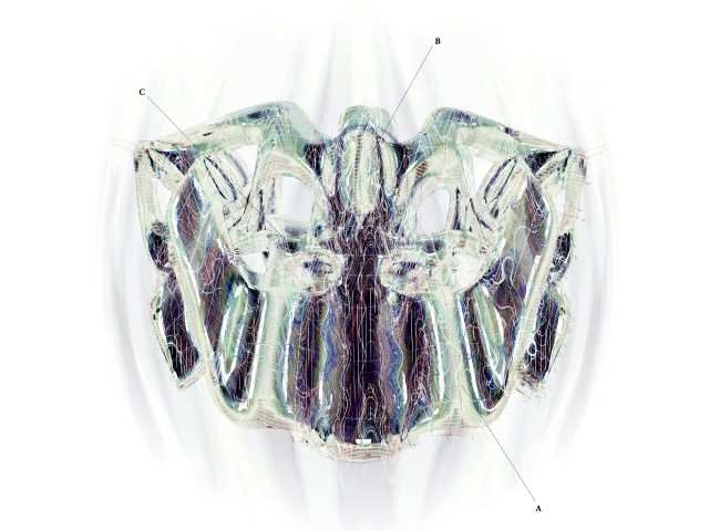
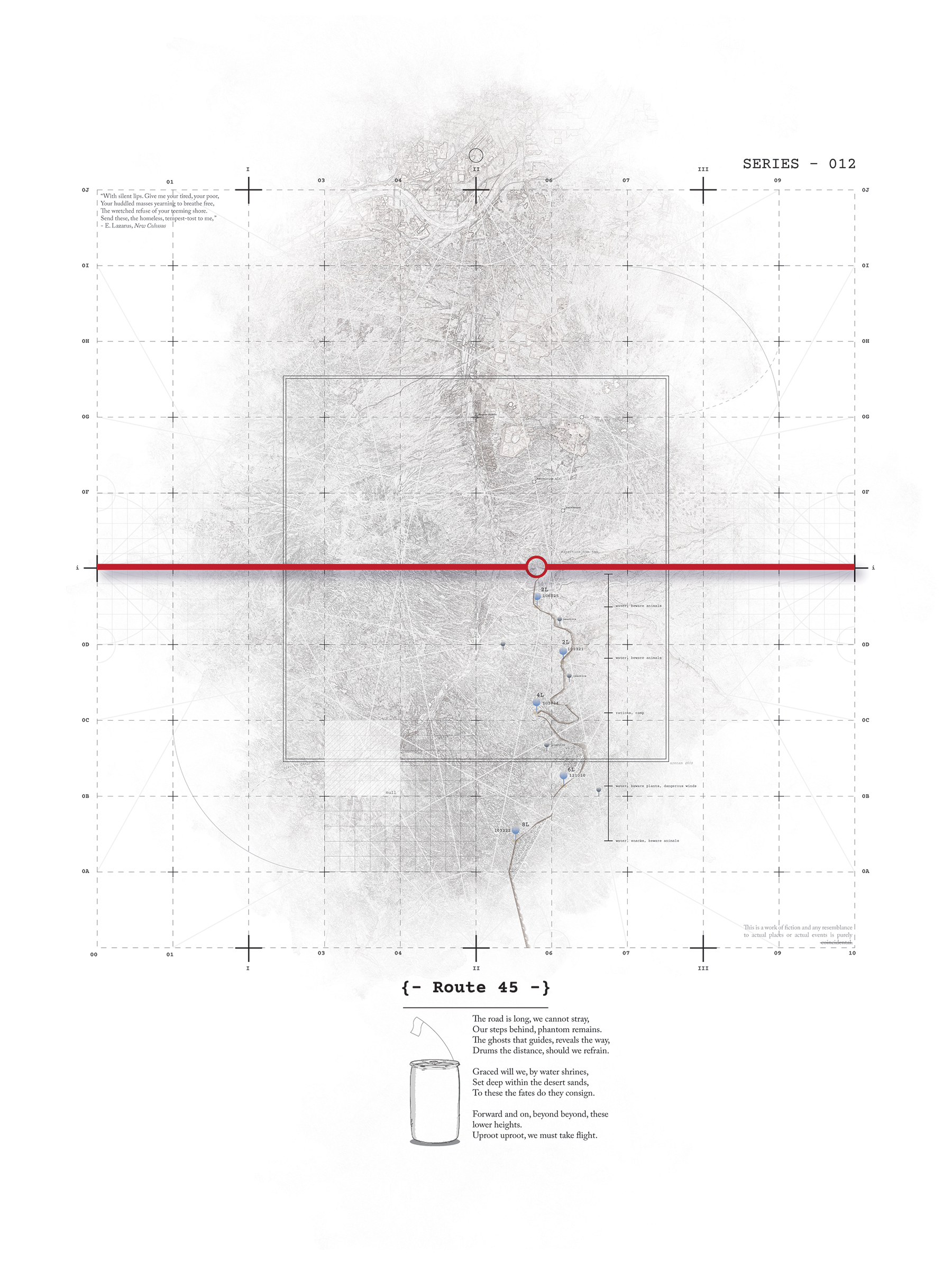
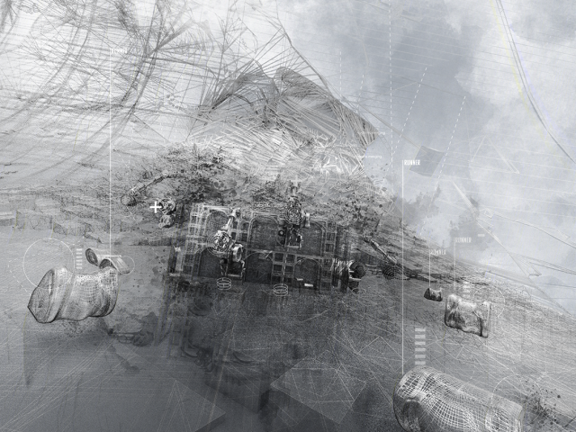
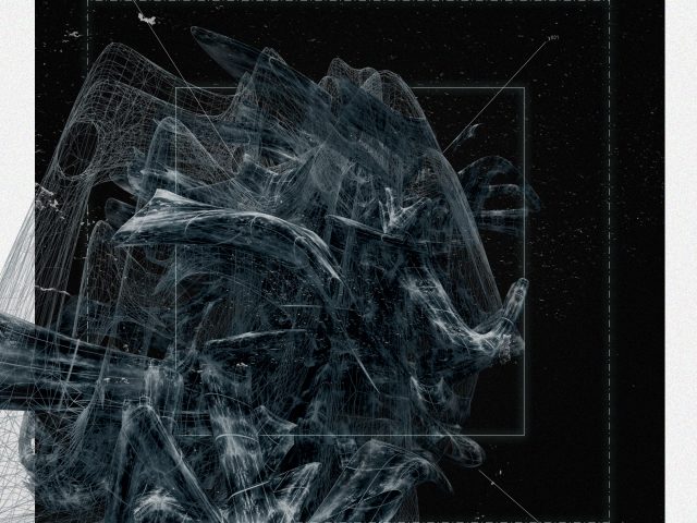
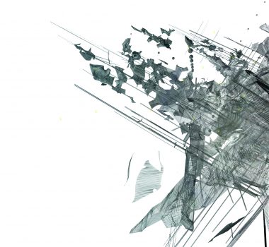
Phantom Surfaces appropriates surface analysis as a point departure for an aesthetic regime rooted in digital space. These drawings are then transformed in analog through bad scanning, paper folding, tears and fading to recognize the image as another surface.

Personal: Research
Digital: Art

Erosion Landscapes

Qualities of erosion through system booleans with parametric solids.

Instructor: Kerenza Harris
SCI-Arc: Fall 2019
CATIA Seminar: Parametric Lifecycles

Deluge Diagrams

Automation and Excess in digital Urbanism

Instructor: Karen Lohrmann
SCI-Arc: Summer 2020
Design Of Cities: Lab III

Osseous Fragments

Digital Reef

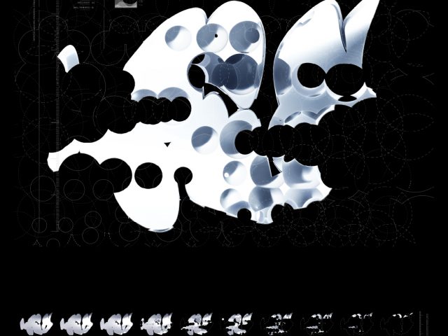
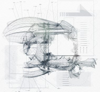
The Digital Reef project was an introduction into the process and practice of fabrication. The model’s base was cut via a computer numerical control (CNC) router, solid models 3D printed, and soft models laser cut and folded from paper.

Term: Fall 2015
Professor: J. Voordouw
ARNC2105: Digital Modelling
Software: Rhino + Grasshopper
:

Texts and Fragments

Communication Standards: Towards a Map of Tiktok.
Speak Mixed Metaphors: Assemblage Urbanism
Deluge Machines
Orbital Drop Factory Cannons
Imago Dei

Recents

City Log